

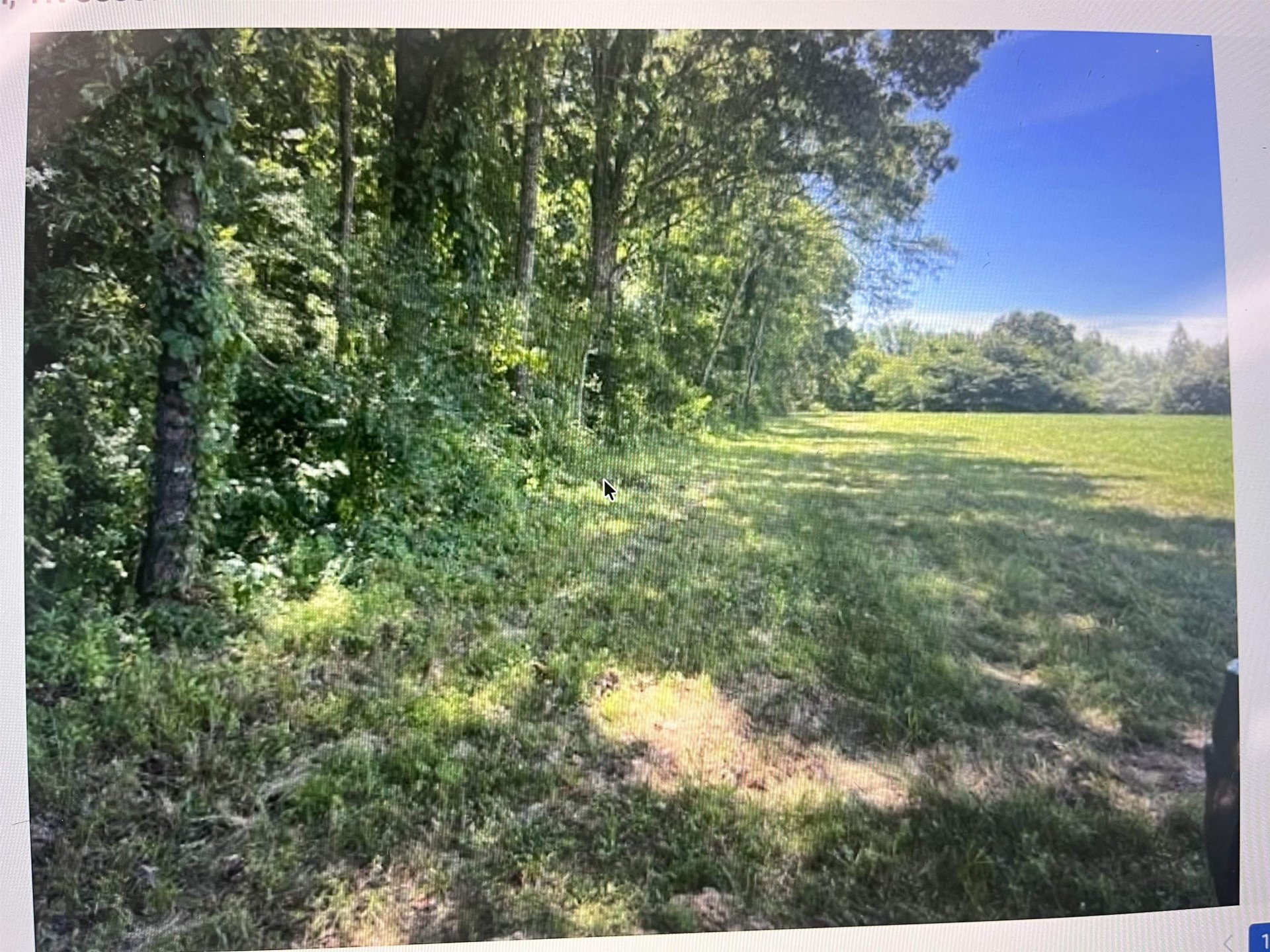
30.00
Acres
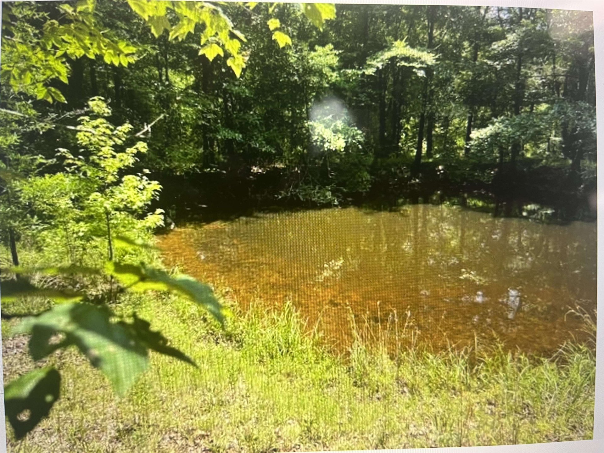
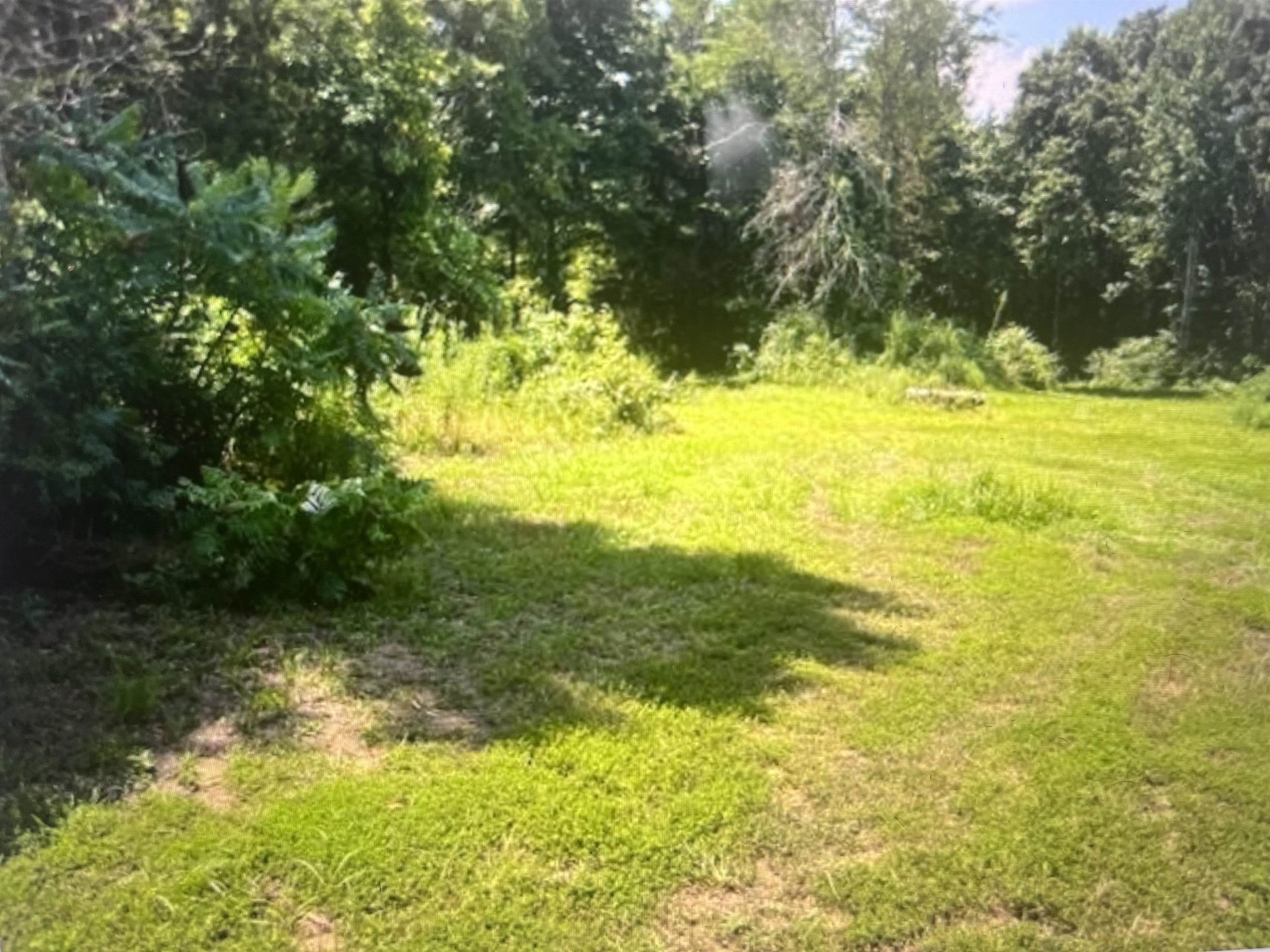
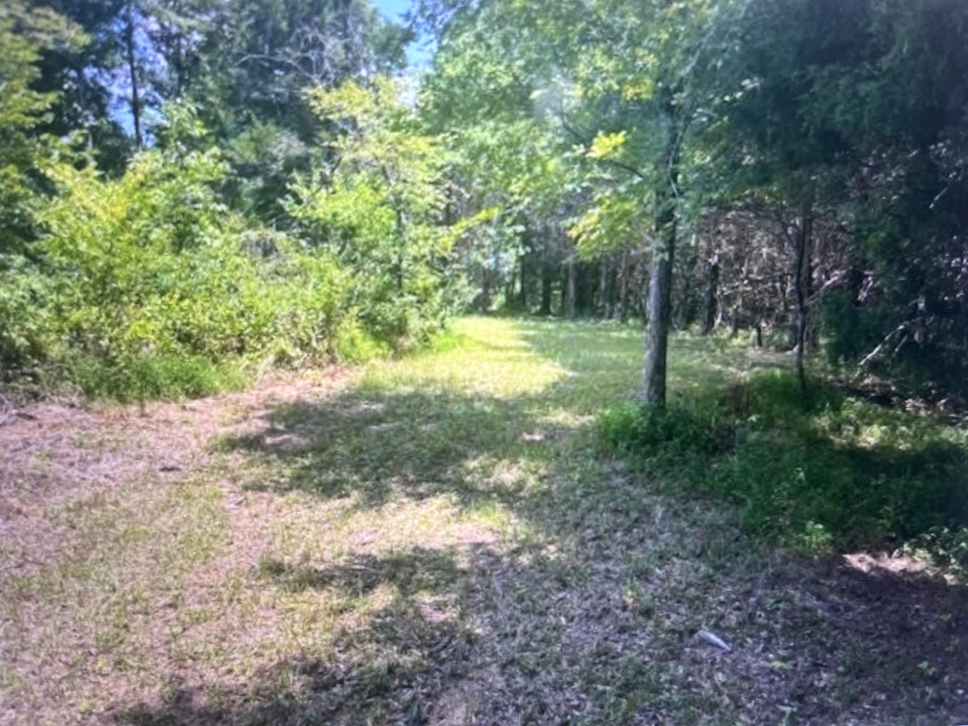
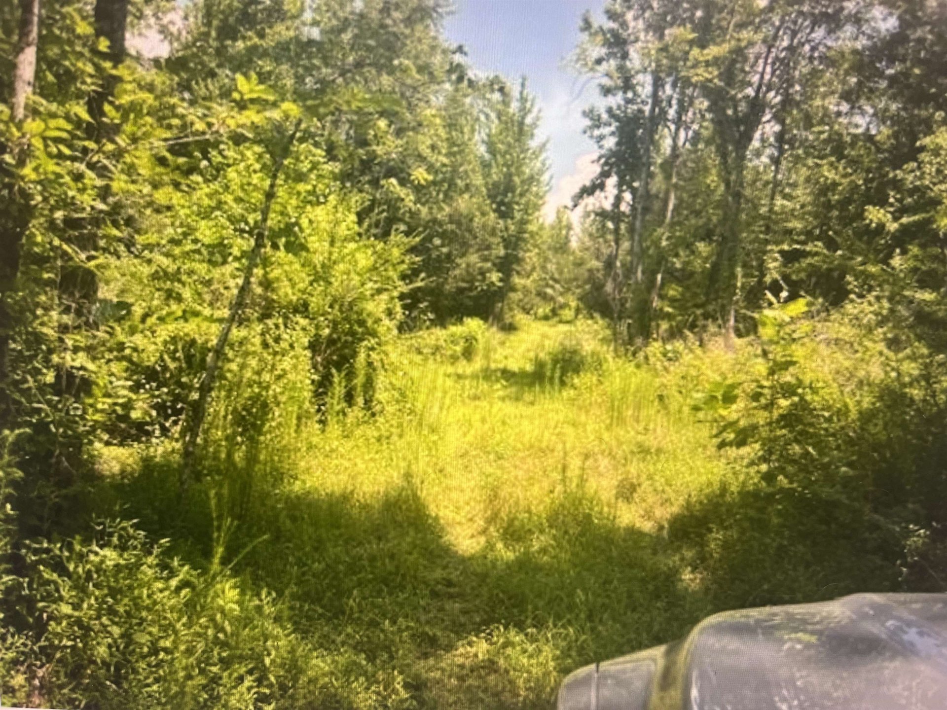
Total Footprint: 30 Contiguous Acres * Primary Target Use: Build-to-Rent (BTR) Community, Single-Family Rentals (SFR), or Master-Planned Subdivision * Geographic Anchor: Direct proximity to the BlueOval City manufacturing corridor * Natural Assets: Mature timber growth and an active natural running creek, ideal for pocket parks, greenways, and high-yield premium neighborhood layouts. * Electrical & Core Utilities: Active infrastructure is already established directly on the property. * Natural Gas: Main lines run parallel to the property line, allowing for cost-effective neighborhood integration. * Water Infrastructure: Municipal water main is situated approximately 1,000 feet from the property line, offering a short, low-risk extension pathway. * Logistical Access: Full, established road access supports heavy civil construction vehicles, grading machinery, and future resident commuter flows.
Features
Exterior & Lot
| Lot Dimensions | 30 |
Neighborhood
| Directions | 3.5 mi take exit 12c on the right to merge to i40 e toward nashville 42 mi take exit 52 on koko rd 600 ft turn left on to koko rd 400 ft turn right on to sr-76 2.5 mi turn left on to qualls rd 1.7 turn right on to buoyed ln 300 ft destination is on left |
Utilities
| Utilities | Public Water, Electricity, Natural Gas |
Financial
| Annual County Tax | $115 |
Contact Agent

Location
1 / 5
196 BOYD